Storied Walks and Deep Mapping

OTHER CITIES: LONDON MEMORYSCAPE
Storied Walks and Deep Mapping of South London
by Alice-Anne Psaltis
13 March 2025
Alice-Anne Psaltis shares her journey from mundane, everyday walking to explorative, curious, then conscious walking and how, eventually, walking – and with it deep mapping – became her research practice. While deep mapping is not about walking, it is nearly impossible to do without it. Equally, it is about standing still. Deep mapping is the excavation of a place and its memories without digging. Noticing its smells, sounds, vibrations; engaging with its history; observing and questioning. It is a practice of taking time and a practice without measurable outcome. Psaltis penned an invitation to walk with more awareness to our immediate suroundings and at the same time, unknowingly, a response – or continuation – to Uta Staiger’s essay and the question of how to map a city. How do we map a place?
I only recently began walking. In the past, I would walk my dog, walk to work, walk to buy a coffee. There was normally a justification, a reason why I walked.
Occasionally, Mum and I would stroll the hilly streets around home, in Meanjin/Brisbane. Chatting as we passed old Queenslanders. Stopping to look at such-and-such’s house. We had spent our lives in the area, its streets overflowing with stories. These walks were a way to revisit memories, to repopulate space with images and people past.
London commenced as one long walk. I left a friend’s house in the south-west, traversing Brixton and Camberwell, Peckham, and New Cross. Unfamiliar places humming with a constant flurry of activity. I walked along bustling high streets, and passed rows of terrace houses interrupted by large concrete blocks. It was loud and impenetrable. I felt anonymous, uneasy, yet exhilarated.
My first year in the city passed by with few walks like this one. Consumed by an endlessness of other things to do. I would sometimes walk in the local park, a leftover public good from the pre-austerity past. The park is shaped like a bent triangle. I entered at its pointy end, looped through its gardens, around the sports fields and back again. My route was prescribed by existing paths. I rarely stepped outside.
It was only with the pandemic that I diverged from such routine. Afraid to walk near others, I began to take the open grassy areas and cut across fenced flowerbeds. I became familiar with my fellow early-morning walkers. A nod, a smile, a polite thank you or disapproving stare, as we learnt to navigate space differently and more consciously.
I started to venture beyond the park and up to One Tree Hill – a small nature reserve once part of the Great Northern Wood. Like many green spaces close by, I had formerly only recognised it as a vacant shape on a map. I climbed the steep wooded hill and onto a framed picture of London city. The buildings appeared like silhouettes against the greyish sky. I felt so far from the London they symbolised as if peering in from elsewhere.

By 2021, I was walking more and more. I commenced a year-long project where each day I walked and recorded my thoughts and observations through note-taking, photographs, mappings, and sound recordings. I walked in all weathers, at different times of day, alone, with friends and neighbours. I followed old walking tracks and forgotten rivers, found out more about the area’s history and industry, and conversed with its more-than-human inhabitants.
Through this process, I came to know my small section of the city intimately, my body and feet carving out paths full of changing colours and sounds. It was unlike the picture of London atop the hill. Instead, it became a swirl of storied streets and parks, fields and cemeteries, shops and people. It came alive.
Deep Mappings
Around the same time, I stumbled on a growing body of work on deep mapping. Deep mapping is a research method that aims to comprehend the many layers of memory, experience, and perception of a particular place over time. The term stems from American/Osage writer William Least Heat-Moon’s non-fiction book PrairyErth (A Deep Map) from 1991. Drawing on Indigenous understandings of place, alongside gazetteers (geographic directories that include topography, climate, folklore, symbols, history, literature, etc) the book is a personal and intensive investigation into the geography, history, and ecology of Chase County in Kansas, USA.1
Deep mapping has since been adopted by artists, cultural workers, researchers, historians, and geographers to describe disparate approaches to examining the complexities of place. Unlike traditional cartography, which, central to colonial regimes, presents a totalising view from above in an attempt to define borders, demarcate ownership, and categorise space, deep mapping involves a subjective view from below. As artist, teacher, and researcher, Iain Biggs comments:
“[deep mapping] is not a map in any cartographic sense . . . it is about articulating multiple, individual, social, and environmental understandings of, and/or stories about, a particular place in a changing nature/culture, including its relationship to other places both near and far, using whatever means seem most appropriate.”2
Such processes are likely to start by slowly spending time with a particular place, such as a park, street, bridge, or neighbourhood. They aim to be inclusive, considering both the historical and material landscape, its human and more-than-human residents, and paying attention to experiences that are often hidden behind official narratives. The stories that come forward are dependent on who is involved in the processes, their creative practices, and their experiences of the world. Deep mapping encourages thinking across multiple time scales and can take shape in various forms (walks, academic research, literature, radio talks, artworks, installations, geolocated data, etc). Importantly, there is no end-point or desired outcome, it is, rather, an ongoing process, an invitation for further conversations and contemplations with place.3
As I learnt more about deep mapping, I realised that my daily walks and documentings shared many of its qualities. They were both a way to slow down and learn more about my neighbourhood, as well as a process of (re)rooting experiences, memories, and possibilities here, entering into an ongoing conversation with the city.
Conversations Ongoing
I would sometimes walk with my good friend, Gina Decanga. We had met during our first year living in London while studying at the same university, our lives continuing to crisscross in the following years. We had long conversations about how walking was a way for us to feel at home in the city, to carve out paths when things often felt isolating and overwhelming.
We walked together in my local area, Gina telling me about her interest in the artist Tom Phillips whose project Twenty Sites (1973–) began across the road from a house on Grove Park in which I had briefly lived. Over twenty years, he photographed twenty sites within a one-and-a-half-mile radius of his (then) home, creating a kind of deep mapping of houses, buildings, shops, streets and green spaces.4 Re-walking this route, some sites remained almost unchanged, others had been erased and replaced, redeveloped and remade in the aggressive gentrification of the area, their former selves barely visible.
We would also walk near Gina’s home in Richmond where she had recently started a non-for-profit arts organisation, Palimpsests Projects, working with artists and creatives on rewriting human stories through a programme of exhibitions and events. Walking here, we spoke about Richmond’s connection to the British Empire present in its parks, residences, gardens, and greens. We started thinking critically about its history and wanted to learn more about the stories that might counter dominant understandings of this place.
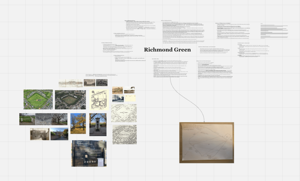
We decided to work together on a series of public walks in Richmond Green. The green was once the site of Shene Palace and later Richmond Palace, used for jousting and archery tournaments, festive celebrations, and grazing and farming land for local people. Today, it functions as an important civic space for community events, sports, and leisure activities; unlike similar spaces across the UK, it continues to be owned by the Crown Estate and leased to the Borough of Richmond Upon Thames who maintain the land as a village green. Through the walks, we hoped to complicate the idea of the green as a common space, asking what experiences linger beneath and alongside its often romanticised and inclusive facade.
We held three public walks in January 2025 with residents, artists, researchers, students, and friends, using walking and deep mapping methods to guide our inquiry into this civic space. Each group offered different perspectives, allowing us to form a disparate understanding of the green’s history, ecology, geology, architecture, infrastructure, and usage, and form connections with other places, times, and perspectives.


Some participants were visiting for the first time, while others had spent many weekends in the green dog walking, bird watching, picnicking, or playing cricket. People shared memories of crossing the green to go shopping and swimming, others of hanging out there as teenagers, the space transformed into somewhere more sinister after dark. We walked in below-freezing conditions, in gloomy winter mist, and brilliant sunshine. The weather shifted our focus from the crisp outlines of winter trees to the circular markings and war bunkers underfoot, and upwards to the looming presence of planes descending towards Heathrow airport. We discussed how the benches lining the green acted as memento mori, uncovered the byelaws that dictated how the space can be used, deconstructed the traces of colonialism present in trees and buildings, and tuned into the sonic environment through deep listening exercises. Following the walks, we retreated to a nearby pub to share our experiences through collective notetakings, drawings, mappings, and discussions, building a continually expanding picture of this place.


A participant commented on how it is rare in the current arts climate of measurable outcomes and (over)production to be part of a process that did not culminate in a final output. Rather, the walks were about coming together to walk slowly, think deeply, notice, document, and share our thoughts and observations as we moved together. We hope all those who joined us continue to build a deeper and more conscious understanding of the places they pass through, lingering a little longer to experience the complex tapestry of stories that await.
Acknowledgements: A special thank you to artist and curator Gina DeCanga for her exchange of knowledge, generosity, and incredible organisation. Thank you also to those who joined the walks in Richmond Green and to Richmond Council for their support.
ALICE-ANNE PSALTIS is an arts researcher and educator. She has recently worked at the Institute of Advanced Studies on events and as a Think Pieces proofreader.
***
Edited by ZOLTÁN KÉKESI & MARTHE LISSON
Proofreading by JAGJEET LALLY
Lead image: detail of a Stone Pine tree on the south-west side of Richmond Green © Marthe Lisson
All other images © Alice-Anne Psaltis.
Categories
One thought on “Storied Walks and Deep Mapping” Leave a comment ›